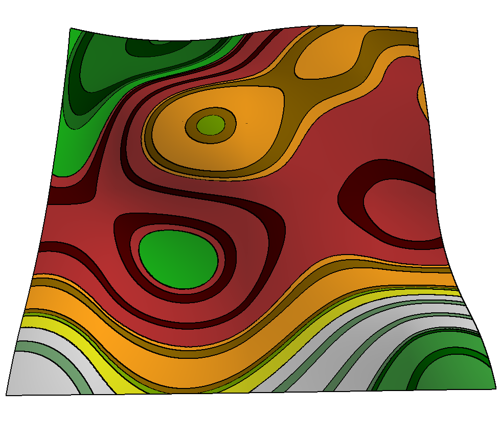
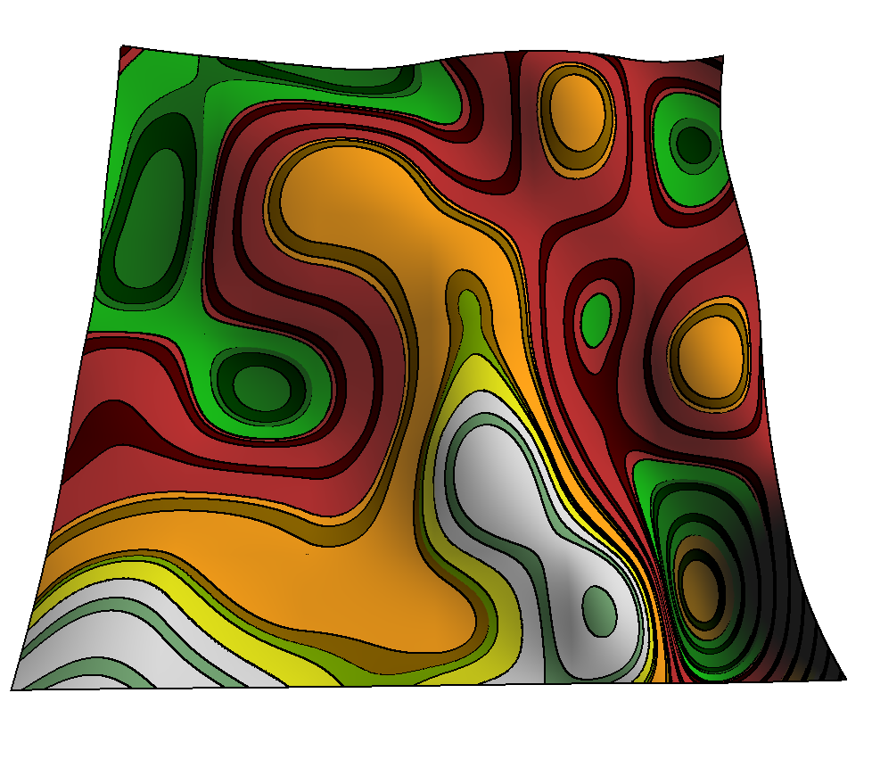

As part of my research I've experimented with a number of terrain visualization techniques. I typically use GLSL Shaders. These pictures use contour based rendering technique which changes the colors based on height and includes contour lines at various intervals. In addition, I've used a technique which was developed by a colleague of mine in the University of Calgary Graphics department, which does edge detection on the GPU.
In my research I am taking a look at the usefulness of Multiresolution details for synthesis purposes. One of the applications is Iris Image Synthesis, and Terrain Repair. So I've built a program which uses Chaikin Reverse Subdivision Filters, developed by my supervisor Dr. Faramarz Samavati, to reduce the resolution of SRTM terrain. These pictures are renderings of some terrain along the California coast at varying levels of resolution. The plan is to get a good friend of mine to sketch these onto some canvasses and my wife will paint them for my office.
Speaking of thesis based work. I should get back to writing. And my wife is here, continually reminding me of that fact. It's too bad that she's right.


No comments:
Post a Comment